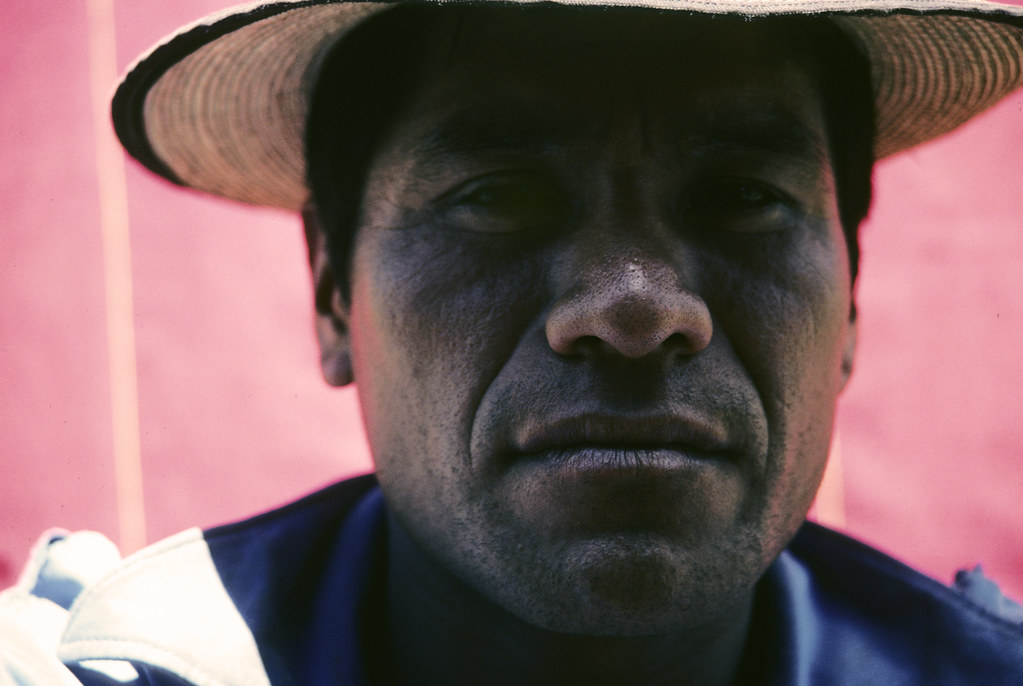
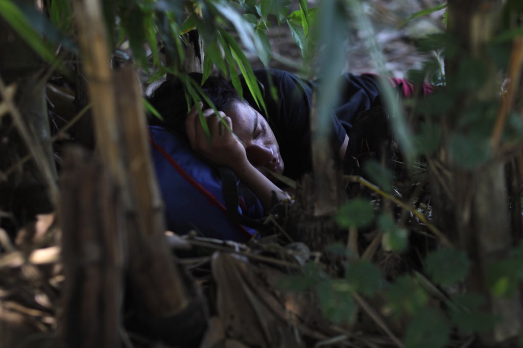
Refugee, Tsazac, Guatemala, 83: photo by Marcelo Montecino, 6 September 2014
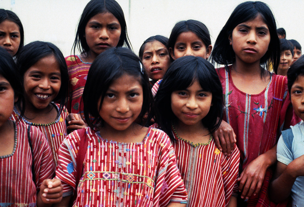
Refugees, Ixil Triangle, Guatemala, 82: photo by Marcelo Montecino, 8 February 2005
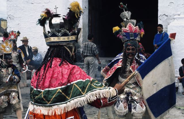
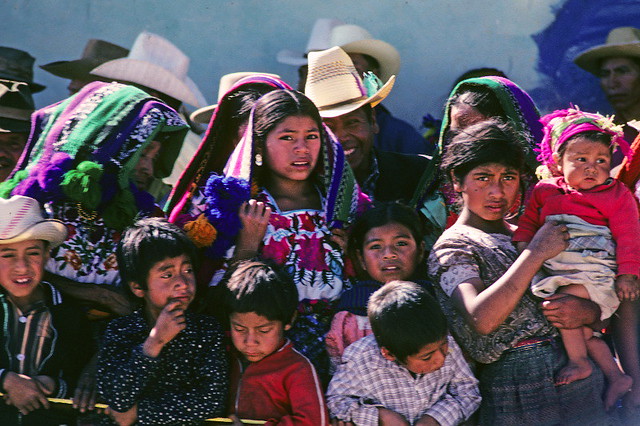
Dance of Conquest, Chichicastenango, Guatemala: photo by Marcelo Montecino, 30 January 2005
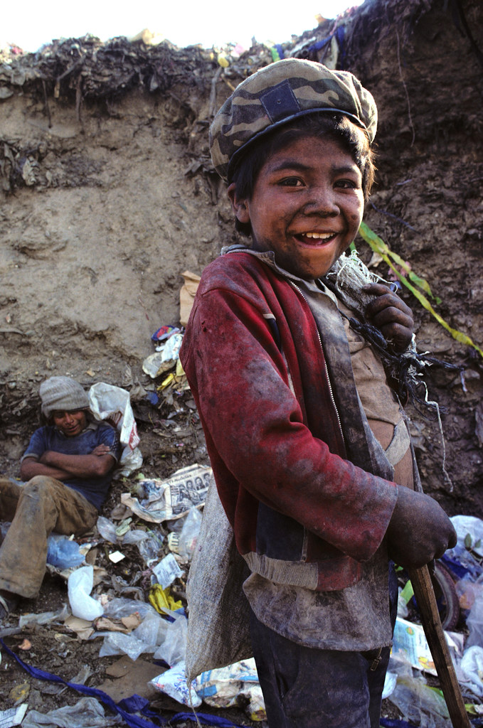
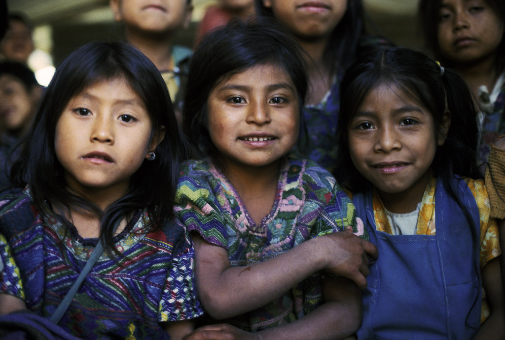
Scavenging at the Dump, Guatemala, 1985: photo by Marcelo Montecino, 14 November 2014
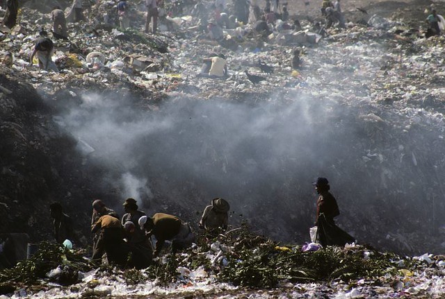
Scavenging, Guatemala: photo by Marcelo Montecino, 18 February 2005
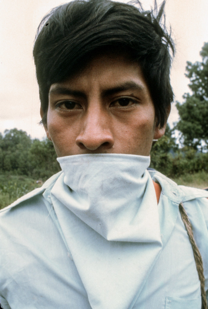
Peasants hunting peasants, Guatemala, 1983: photo by Marcelo Montecino, 19 July 2017
What happens when a great civilization that uses money meets one that does not? They smash each other to smithereens. The horror of [Columbus'] lettera rarissima is fully retained in events. Having sucked the gold out of the Caribbean, Columbus and his successors extinguished almost all the human life. The labour forced on the natives shattered not only their customary subsistence but also their morale, and many simply suicided. By the 1520s, when the Spanish turned their attention to Mexico, the islands of Cuba, Española, Puerto Rico and Jamaica were, according to Las Casas, depopulated. On the mainland Bernal Díaz, an old soldier who had served with Cortés in the conquest of Mexico, would not sleep on a bed in his farm in Guatemala (unless there happened to be gentlemen staying); but paced with his wounds under the wet stars; and each time he closed his eyes he saw his companions dragged up the pyramids, and then their quaking hearts in the pyre-light; and men and horses crashing off the causeway. The disciples of Bartolomé de Las Casas were in despair at the condition of the Indians, which seemed a poor exchange even for the introduction of God's incomparable grace to a hemisphere.
James Buchan: from A Disease of the Heart, in Frozen Desire: the Meaning of Money, 1997

Emotional photos show kids reuniting with their deported parents: photos by John Moore/Getty Images, CNN, 8 August 2018
Nine Guatemalan children were reunited with their parents Tuesday, months after they had been separated at the US border as part of the Trump administration’s “zero-tolerance” immigration policy.
The
parents were among hundreds of migrants who had been deported without
their children. Getty Images photographer John Moore was there to
capture the emotional scenes.
“I was concentrating on taking photos, in a
really cramped space, so I couldn’t listen in on much of their
conversations,” Moore said. “At one point I heard a father say
‘Perdoname’ (‘Forgive me’) to his son when they were reunited. He, like
most parents, didn’t know they might be separated from their children
after crossing the border into the US.”
The children flew to Guatemala City from New York, where some of them had been held since being separated from their parents. After being processed at the airport, they were taken to a local shelter where their parents were waiting. Moore called the reunions “bittersweet, at best.”
“There were tears of joy and relief, but also of anguish and regret,” he said.
These are the first nine children to be returned to their deported parents in Guatemala, according to the country’s social welfare ministry. In June, a federal judge ordered the US government to reunite all parents and children it had separated at the border.

Families wait to embrace their children for the first time in months.

Leo Jeancarlo de Leon, 6, plays with blocks while being processed at the airport in Guatemala City. He was later reunited with his mother, Lourdes. They spent almost three months apart.

A social worker holds the hand of one of the boys.

A man is overcome with emotion as he hugs his son. “Since media is not allowed to photograph moments of separation or children detained away from their parents, reunification pictures are complicated,” Moore said. “They tell a part of an urgent, important but ultimately incomplete story.”

There was a heavy media presence for the children’s return.

A teddy bear lies in a chair while the children wait to be processed at the airport in Guatemala City. The children were given snacks and toys to play with.

Parents embrace their son at the shelter in Guatemala City.

Filomena, 6, plays while she waits to be reunited with her father, who had been deported after they crossed the US-Mexico border.

Social workers write names on new backpacks for the children.

One of the boys uses his thumbprint to sign reception documents at the shelter.

Guatemalan first lady Patricia Marroqui’n
kisses 10-year-old Abner Raul after he was reunited with his family. “A
few months ago, the Guatemalan government received criticism on how it
initially handled these separations, so this week it tried to show a
more active and positive role in the reintegration of its citizens after
deportation from the US,” Moore said.
A Guatemalan security agent awaits the children’s arrival.
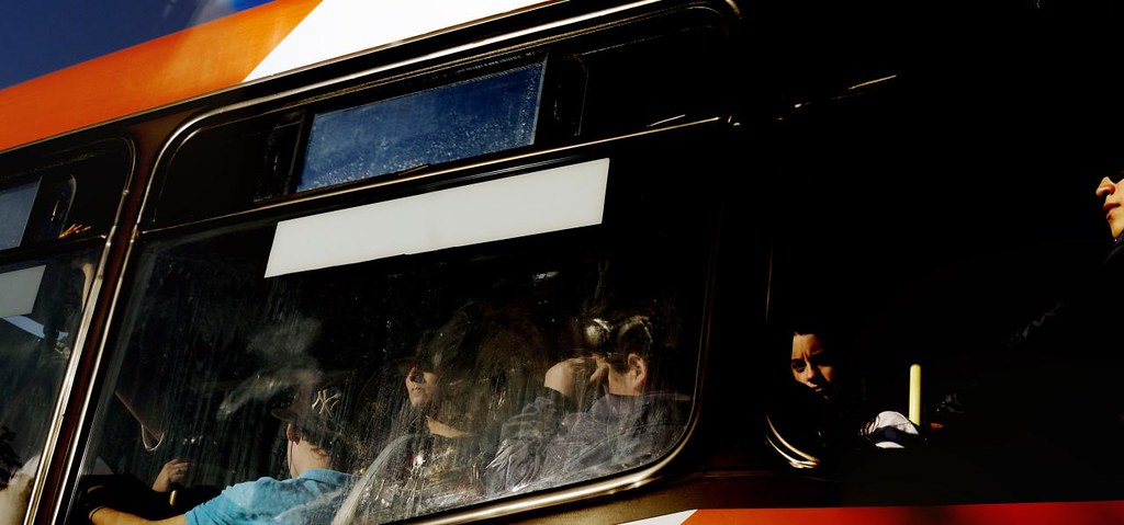
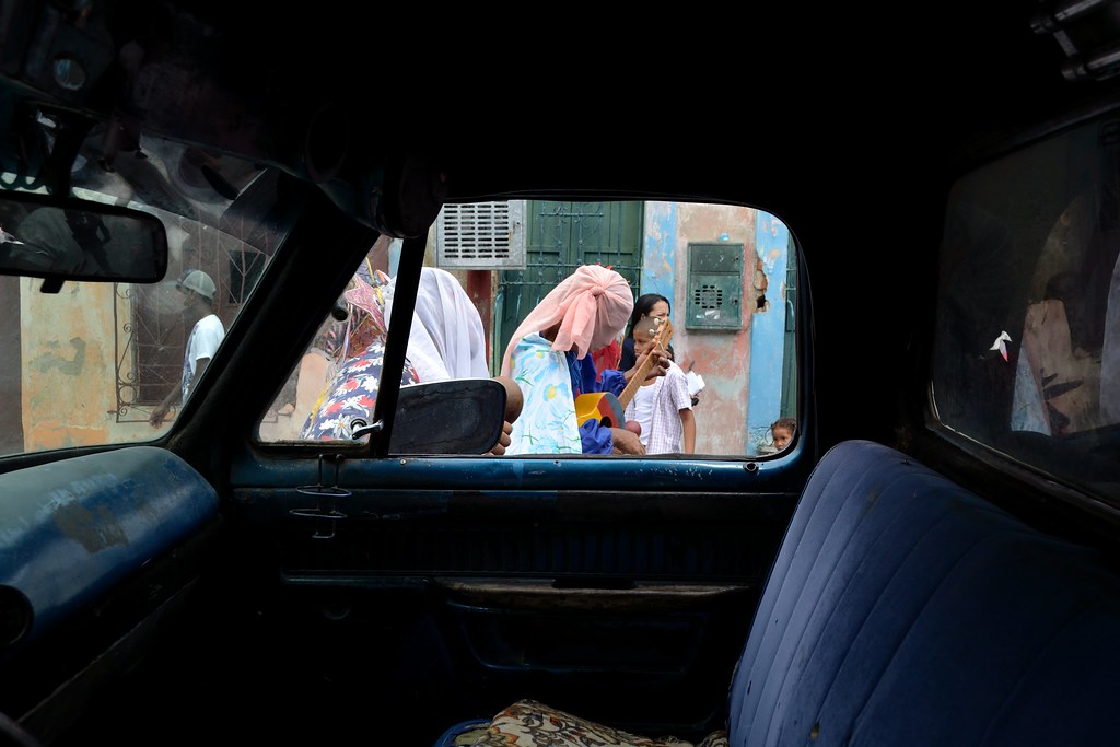
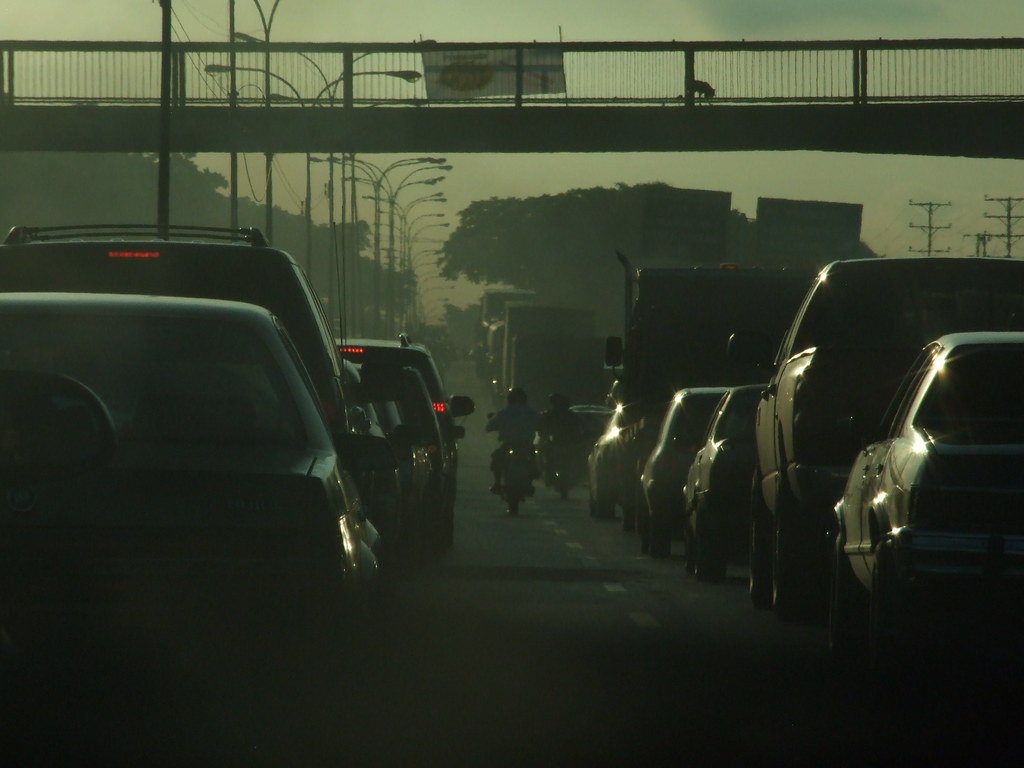
Bus, Santiago, 2010: photo by Marcelo Montecino, 24 September 2010
Untitled, Santiago, Chile, 2000: photo by Marcelo Montecino, 13 October 2005
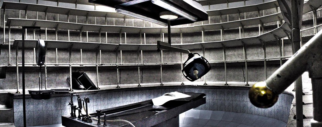
Morgue, Santiago, 2011 -11: photo by Marcelo Montecino, 25 August 2011
Untitled, Santiago, 90: photo by Marcelo Montecino, 17 October 2005
Untitled [Puerto Cabello, Carabobo, Venezuela]: photo by German Adolfo, 5 May 2011

Catia, Caracas: photo by Anthony Salazar, sometime in 2017

Catia, Caracas: photo by Anthony Salazar, sometime in 2017
Hora pico. | Respire profundo. [Caracas]: photo by Daren Ruiz, 10 October 2011
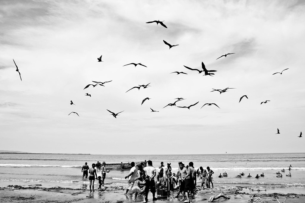
Pescas de arrastre 01 | Tucacas, Edo. Falcón. Venezuela: photo by Patricia Simmons, 13 May 2011

La Sabana, Vargas [Venezuela]: photo by Anthony Salazar, sometime in 2017


A Guatemalan security agent awaits the children’s arrival.
museum of memory
Lonely Afternoon, Santiago 90: photo by Marcelo Montecino, 17 March 2014
Bus, Santiago, 2010: photo by Marcelo Montecino, 24 September 2010
Untitled, Santiago, Chile, 2000: photo by Marcelo Montecino, 13 October 2005
Morgue, Santiago, 2011 -11: photo by Marcelo Montecino, 25 August 2011
Untitled, Santiago, 90: photo by Marcelo Montecino, 17 October 2005
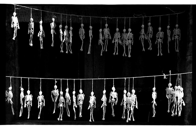
Score for sad symphony, Santiago, 2010: photo by Marcelo Montecino, 11 September 2010
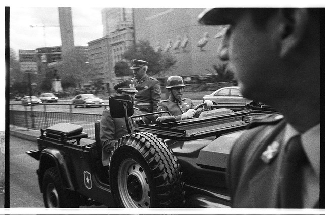
Military parade, Santiago, 2010: photo by Marcelo Montecino, 19 September 2010
Military parade, Santiago, 2000: photo by Marcelo Montecino, 14 October 2005
Military parade, Santiago, 2010: photo by Marcelo Montecino, 19 September 2010
Military parade, Santiago, 2000: photo by Marcelo Montecino, 14 October 2005
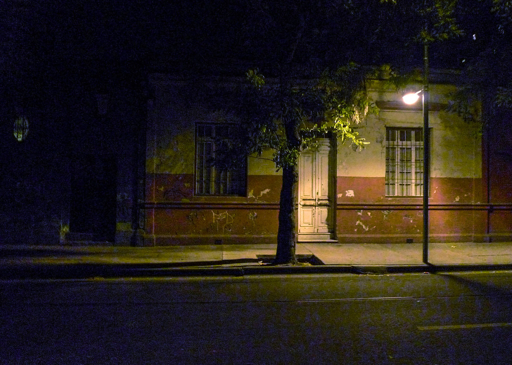
Calle triste, Santiago, 2010: photo by Marcelo Montecino, 11 January 2010
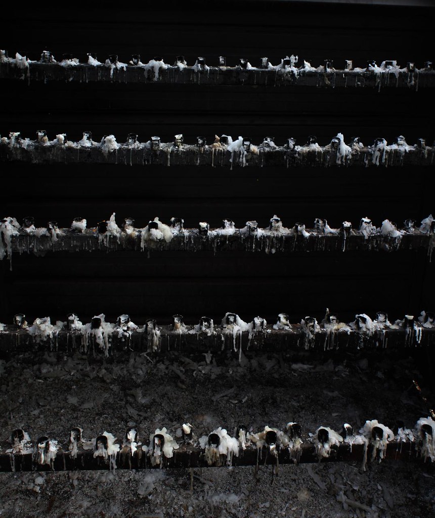
Museo de la memoria, Santiago, 2010 -12: photo by Marcelo Montecino, 11 January 2010
Museo de la memoria, Santiago, 2010 -12: photo by Marcelo Montecino, 11 January 2010
Untitled [Puerto Cabello, Carabobo, Venezuela]: photo by German Adolfo, 5 May 2011
Catia, Caracas: photo by Anthony Salazar, sometime in 2017

Catia, Caracas: photo by Anthony Salazar, sometime in 2017
Catia, Caracas: photo by Anthony Salazar, sometime in 2017
Hora pico. | Respire profundo. [Caracas]: photo by Daren Ruiz, 10 October 2011
Pescas de arrastre 01 | Tucacas, Edo. Falcón. Venezuela: photo by Patricia Simmons, 13 May 2011
La Sabana, Vargas [Venezuela]: photo by Anthony Salazar, sometime in 2017
museum of memory
Braniff International Airlines advertisement for Braniff International Airlines: Time, 4 October 1961 (Gallery of Graphic Design)
I saw the waves of big planes filling the sky and thought of Caracas Maracaibo Macchu Picchu Panama and Bogota
Lima Buenos Aires Sao Paulo Rio de Janeiro
those exotic places so mysterious and faraway and all all ours
to take interesting romantic gringo vacations in whenever we pleased if we could afford it
though for some it was not all play maybe a smidgeon of work of which I never saw any
but trusted in what I was told and when my cousin jim who'd been fucked up in war
having been made to leap off the deck of an LST into roiled unfriendly waters
survived and considered himself let off easy
with a back injury not permanently disabling so that soon enough
he had disappeared mysteriously into South America Caracas Venezuela was gone was gone
then was back and now mysteriously better off than he'd been before how can that have happened
nobody would say this mystery compounded with curious evidence
gathered in San Pedro courtesy my uncle harry who wasn't my uncle but knew the world
had a bit of time on his hands the rectal cancer was slow he'd take me to it that famous world
to cray jai alai in tijuana to the celebrated long beach pier amusements to god
knows where and the day when some dock boss he knew in Pedro let us hang
in the huge dark unloading shed so that when the green bunches
still on the stalks came off the vast boat the gaping kid with big eyes could be shown the gigantic dazed tarantulas
that had been riding free all the way from south america now seeing the glaring proprietary light of el norte for the first time
racing to escape onto the mechanized conveyor loading belt
and the dock hands laughed to see such sport the wowed kid the panicky fugitive tarantulas
scrambling for their scarified hairy alien lives
United Fruit Company advertisement for Chiquita Bananas: Life, 4 November 1966 (Gallery of Graphic Design)

Pan America advertisement for Air Travel: Time, 17 September 1956 (Gallery of Graphic Design)
Pan America advertisement for Air Travel: Time, 17 September 1956 (Gallery of Graphic Design)
United Fruit Company advertisement for Chiquita Bananas: Life, 8 April 1957 (Gallery of Graphic Design)

Pan America advertisement for Air Travel: Time, 15 September 1958 (Gallery of Graphic Design)

United Fruit Company advertisement for Chiquita Bananas: Woman's Day, 1 March 1948 (Gallery of Graphic Design)

Panagra Airlines advertisement for Air Travel: Time, 17 November 1961 (Gallery of Graphic Design)

Pan America advertisement for Air Travel: Time, 15 September 1958 (Gallery of Graphic Design)
United Fruit Company advertisement for Chiquita Bananas: Woman's Day, 1 March 1948 (Gallery of Graphic Design)
Panagra Airlines advertisement for Air Travel: Time, 17 November 1961 (Gallery of Graphic Design)
United Fruit Company advertisement for Chiquita Bananas: Life, 15 September 1956 (Gallery of Graphic Design)
César Vallejo: Piedra negra sobre una piedra blanca (Black stone on top of a white stone)
It shall be a Thursday, because today, Thursday
As I put down these lines, I have set my shoulders
To the evil. Never like today have I turned,
And headed my whole journey to the ways where I am alone.
César Vallejo is dead. They struck him,
All of them, though he did nothing to them,
They hit him hard with a stick and hard also
With the end of a rope. Witnesses are: the Thursdays,
The shoulder bones, the loneliness, the rain, and the roads...
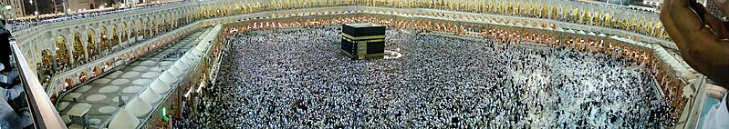
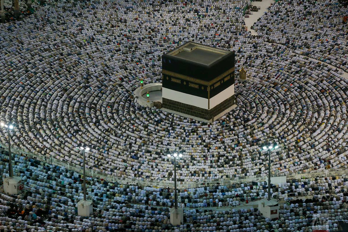
Panorama of Masjid al-Haram (the Grand Mosque) at Mecca, Saudi Arabia: photo by Bluemango2z, 22 December 2007
también con una soga; son testigos
los días jueves y los huesos húmeros,
la soledad, la lluvia, los caminos...

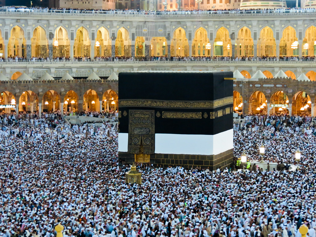
The Ka'aba in Mecca surrounded by pilgrims during Hajj season: photo by Al-Fassam, 1 January 2003
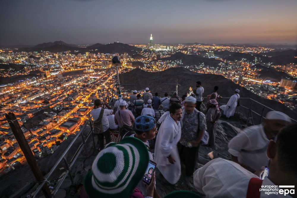
epa editor's choice 16 August 2018: Pilgrims visit the Hiraa cave at Jabal al-Nour, the Mountain of Light, during the annual Hajj pilgrimage in Mecca, Saudi Arabia, 15 August 2018. Around 2.5 million Muslims are expected to attend this year's Hajj pilgrimage to Mecca, the holiest place in Islam.#Pilgrims #HiraaCave #JabalAlNour #Hajj #Hajj2018 #Mecca #Makkah #makkamukaramah #SaudiArabia #epaphotos Photo epa-efe / Mohammed Saber: image via epaphotos @epaphotos, 16 August 2018
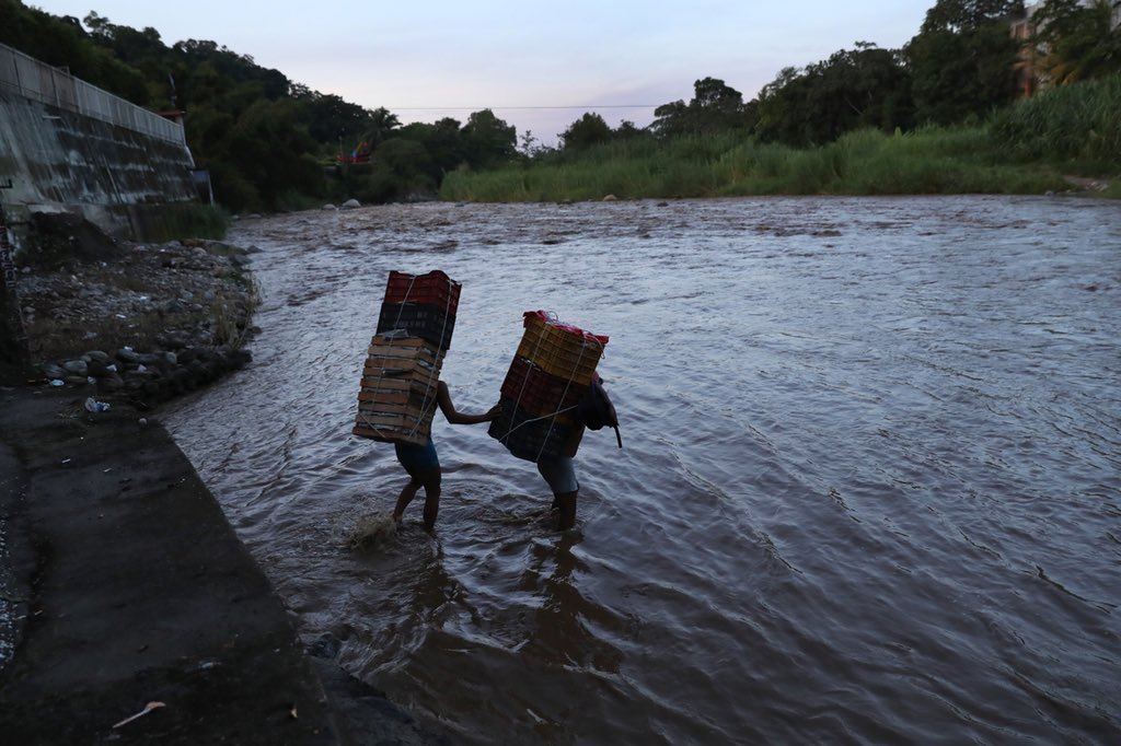
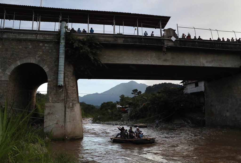
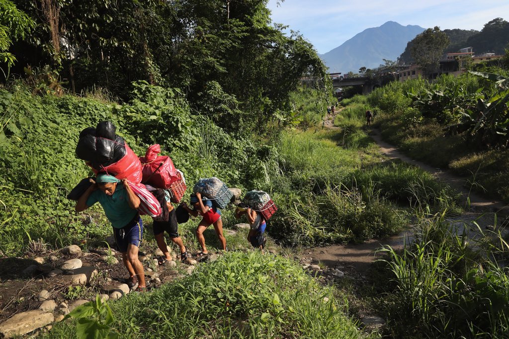
Laborers, students and immigrants cross Mexico’s porous southern border from Guatemala into Chiapas, Mexico. This unofficial crossing point is a preferred route for many who choose to avoid the official international bridge located directly above. #gettyimagesnews: image via John Moore @jbmoorephotos, 14 August 2018
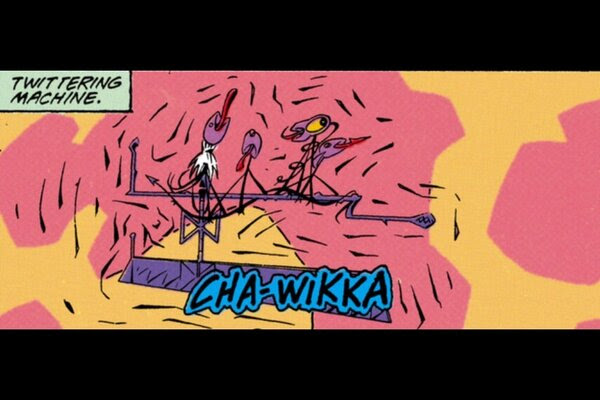
#Twitteringmachine [Paul Klee, gouache and pen and ink oil transfer on paper, 1922] Originally displayed @Germany, the image was declared "degenerate art" by #AdolfHitler #NYC #art: image via Dulce Leyva @dugeth, 25 September 2014
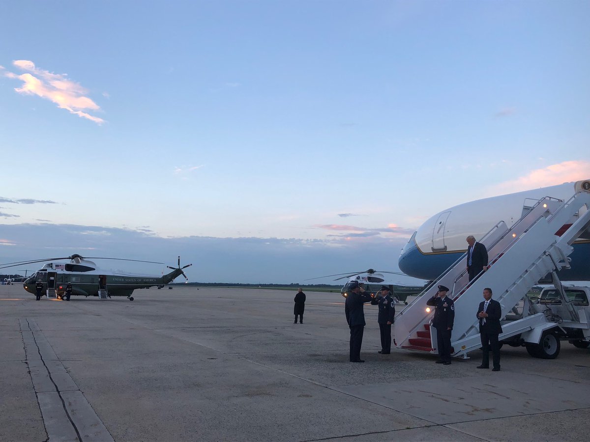
@realDonaldTrump returns to Washington after a 12-day working vacation at his golf property in New Jersey.: image via Jeff Mason @JeffMason1, 13 August 2018
In 1992 twitter worked with these #twitteringmachine: image via Sampsa Granström @Sampsa_G, 12 February 2013

Roasted peanuts (closeup): photo by Geographer, 2007

Twitter Fail Whale error message: image by Yiying Lu, 2009

Blueprint sketch by Twitter founder Jack Dorsey, envisioning an SMS-based social network: photo by Jack Dorsey, 24 March 2006

Emergency Tweet: photo by Paul Randall, 2009
Naked Pizza takeout and delivery store, Claiborne and Calhoun Streets, New Orleans: photo by Infrogmation, 2010
Movement of Jah People
Muslim
pilgrims pray at the Grand Mosque today, ahead of the annual Hajj
pilgrimage in the Muslim holy city of Mecca, Saudi Arabia. Photo
@daryasin: image via AP Images @AP_Images, 16 August 2018
César Vallejo: Piedra negra sobre una piedra blanca (Black stone on top of a white stone)
البيت العتيق -- The Primordial House "Ka'aba" at Mecca during hajj season: photo by A.S. Dhanny, 19 October 2012
I shall die in Paris, in a rainstorm,
On a day I already remember.
I shall die in Paris -- it does not bother me --
Doubtless on a Thursday, like today, in autumn.
On a day I already remember.
I shall die in Paris -- it does not bother me --
Doubtless on a Thursday, like today, in autumn.
It shall be a Thursday, because today, Thursday
As I put down these lines, I have set my shoulders
To the evil. Never like today have I turned,
And headed my whole journey to the ways where I am alone.
César Vallejo is dead. They struck him,
All of them, though he did nothing to them,
They hit him hard with a stick and hard also
With the end of a rope. Witnesses are: the Thursdays,
The shoulder bones, the loneliness, the rain, and the roads...

Panorama of Masjid al-Haram (the Grand Mosque) at Mecca, Saudi Arabia: photo by Bluemango2z, 22 December 2007
Me moriré en París con aguacero,
un día del cual tengo ya el recuerdo.
Me moriré en París y no me corro
tal vez un jueves, como es hoy, de otoño.
un día del cual tengo ya el recuerdo.
Me moriré en París y no me corro
tal vez un jueves, como es hoy, de otoño.
Jueves será, porque hoy, jueves, que proso
estos versos, los húmeros me he puesto
a la mala y, jamás como hoy, me he vuelto,
con todo mi camino, a verme solo.
estos versos, los húmeros me he puesto
a la mala y, jamás como hoy, me he vuelto,
con todo mi camino, a verme solo.
César Vallejo ha muerto, le pegaban
todos sin que él les haga nada;
le daban duro con un palo y duro
todos sin que él les haga nada;
le daban duro con un palo y duro
también con una soga; son testigos
los días jueves y los huesos húmeros,
la soledad, la lluvia, los caminos...
César Vallejo (1892-1938): Piedra negra sobre una piedra blanca (Black stone on top of a white stone) from Poemas Humanos (Human Poems) (1923-1938), 1938; English version by Thomas Merton, 1960
The Ka'aba in Mecca surrounded by pilgrims during Hajj season: photo by Al-Fassam, 1 January 2003
epa editor's choice 16 August 2018: Pilgrims visit the Hiraa cave at Jabal al-Nour, the Mountain of Light, during the annual Hajj pilgrimage in Mecca, Saudi Arabia, 15 August 2018. Around 2.5 million Muslims are expected to attend this year's Hajj pilgrimage to Mecca, the holiest place in Islam.#Pilgrims #HiraaCave #JabalAlNour #Hajj #Hajj2018 #Mecca #Makkah #makkamukaramah #SaudiArabia #epaphotos Photo epa-efe / Mohammed Saber: image via epaphotos @epaphotos, 16 August 2018
Laborers,
students and immigrants cross Mexico’s porous southern border from
Guatemala into Chiapas, Mexico. This unofficial crossing point is a
preferred route for many who choose to avoid the official international
bridge located directly above. #gettyimagesnews: image via John Moore @jbmoorephotos, 14 August 2018
Laborers, students and immigrants cross Mexico’s porous southern border from Guatemala into Chiapas, Mexico. This unofficial crossing point is a preferred route for many who choose to avoid the official international bridge located directly above. #gettyimagesnews: image via John Moore @jbmoorephotos, 14 August 2018
Laborers,
students and immigrants cross Mexico’s porous southern border from
Guatemala into Chiapas, Mexico. This unofficial crossing point is a
preferred route for many who choose to avoid the official international
bridge located directly above. #gettyimagesnews: image via John Moore @jbmoorephotos, 14 August 2018
When
your twittering machine starts feeling kind of neglected... pouting there beside your pillow as though it thinks maybe you don't love it any more... and in the night you hear its familiar call... beckoning... something deep in your heroic teuton outerboroughs bonespurs awakens... as you go into motion your imperial robe pinches a bit... you loosen the belt strap... your twittering machine won't let you rest... tweet with me now, it croons impatiently... your
tiny fat fingers do an anxious little jig around it and now you hardly know what you're doing... you're in power glide... then its strange ravening dead bird mouth beak opens and... out comes a sound only other dead birds and Republicans can hear!

#Twitteringmachine [Paul Klee, gouache and pen and ink oil transfer on paper, 1922] Originally displayed @Germany, the image was declared "degenerate art" by #AdolfHitler #NYC #art: image via Dulce Leyva @dugeth, 25 September 2014
@realDonaldTrump returns to Washington after a 12-day working vacation at his golf property in New Jersey.: image via Jeff Mason @JeffMason1, 13 August 2018
In 1992 twitter worked with these #twitteringmachine: image via Sampsa Granström @Sampsa_G, 12 February 2013
Peanuts

Roasted peanuts (closeup): photo by Geographer, 2007
The attention span of a human in the age of the internet: the size of a peanut, with room for a few billion tweets to spare.
Inner space, it's the new lebensraum, as the shades of evening fall.
Inner space, it's the new lebensraum, as the shades of evening fall.
Twitter Fail Whale error message: image by Yiying Lu, 2009

Blueprint sketch by Twitter founder Jack Dorsey, envisioning an SMS-based social network: photo by Jack Dorsey, 24 March 2006

Emergency Tweet: photo by Paul Randall, 2009

Naked Pizza takeout and delivery store, Claiborne and Calhoun Streets, New Orleans: photo by Infrogmation, 2010